

Nagapattinam Port
Nagapattinam Port:
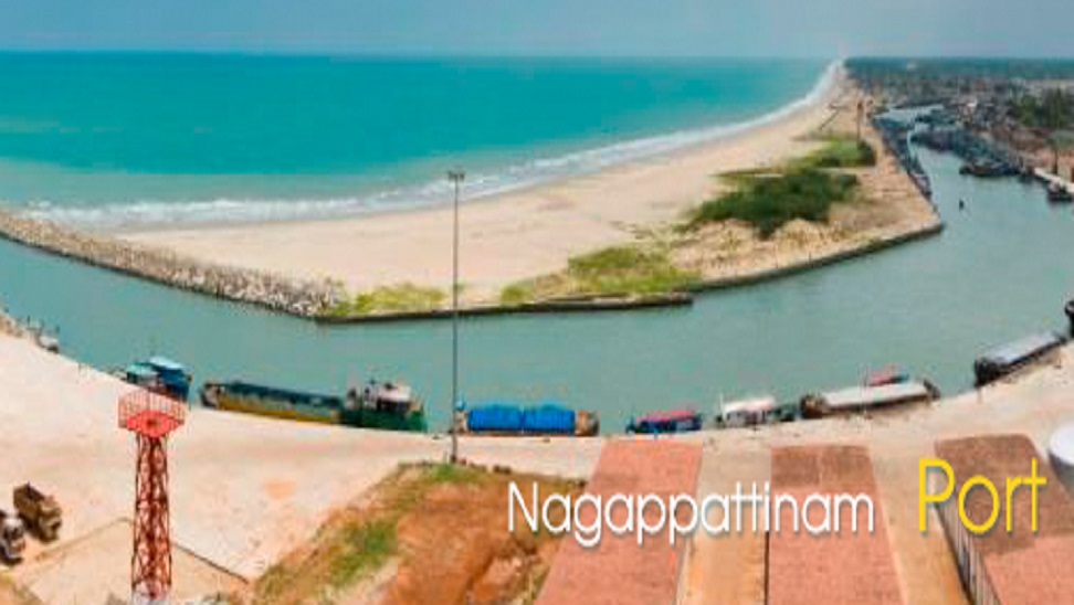
Nagapattinam Port is an ancient situated in Nagapattinam District. The Port of Nagapattinam is located at the mouth of the river Kaduvayar in the Bay of Bengal. The hinterland for this port consists of Thanjavur, Thiruvarur, Pudukottai, Trichy, Salem, Namakkal, Erode, Dindigul, Madurai, Karur, Perambalur, Ariyalur Districts.
Port Limits Co-ordinates and G.O:
|
1 |
Latitude Longitude |
100 790 |
49’ 51’ |
36’’ 06’’ |
N E |
|
2 |
Latitude Longitude |
100 790 |
49’ 57’ |
36’’ 06’’ |
N E |
|
3 |
Latitude Longitude |
100 790 |
44’ 57’ |
51’’ 30’’ |
N E |
|
4 |
Latitude Longitude |
100 790 |
44’ 51’ |
51’’ 06’’ |
N E |
G.O.Ms.No. 110, Highways and Minor Ports (HN2), Dated. 18.06.2009.
CHART NUMBER FOR HARBOUR DATA:
Indian Hydrographic chart No.BA 575 Indian Charts : 3007, 3033
ANCHORAGE POSITION:
The Anchorage position of Nagapattinam port is an open road stead. The vessel anchor according to her draught, with the Light House bearing between 2810 and 2850 8 to 10mts. Depth available at the distance of 1.5 Mile from Light House
CARGO OPERATION:
Nagapattinam is an open roadstead port, vessels anchor according to her draft at mid-stream and cargoes transported through Lighers/Barges. Private self-propelled and dumb barges each to a carrying capacity of 200-300M. Tons are available for cargo operation.
CARGO HANDLING:
Landing and Shipping agents engage their own stevedore labourers
PROVISIONS:
Provisions and Stores (Except Bonded) are available
FREE PRATIQE:
The local Municipal Health Officer grants free pratique in normal cases
PORT WORKING HOURS:
Port works during day light hours i.e. 0600-1800 hours, and also permitted to work during night hours on special request in the permissible weather conditions
CARGO HANDLING HOURS:
Stevedoring contractors permitted to engage their own/private cranes, Fork lifts, etc., for handling of cargo according to their necessity
VHF COMMUNICATION:
Watching Hours: 0900-1300
1400-1800 (On all working days)
Watching Channel: 16
NAVIGATIONAL AIDS:
Light House under the control of Government of India situated in Lat. 100 49’ 9’’ N, Long. 790 51’ 1’’ E
I.S.P.S. COMPLIANCE:
This port is complied with I.S.P.S. code.
Contact Details:-
O/o, Tamil Nadu Maritime Board,
Port Officer, Port office,Nagapattinam – 611 001, Tamil Nadu, India.
Phone : 04365 – 242255/242363.