
Kanyakumari Port
Kanyakumari Port:
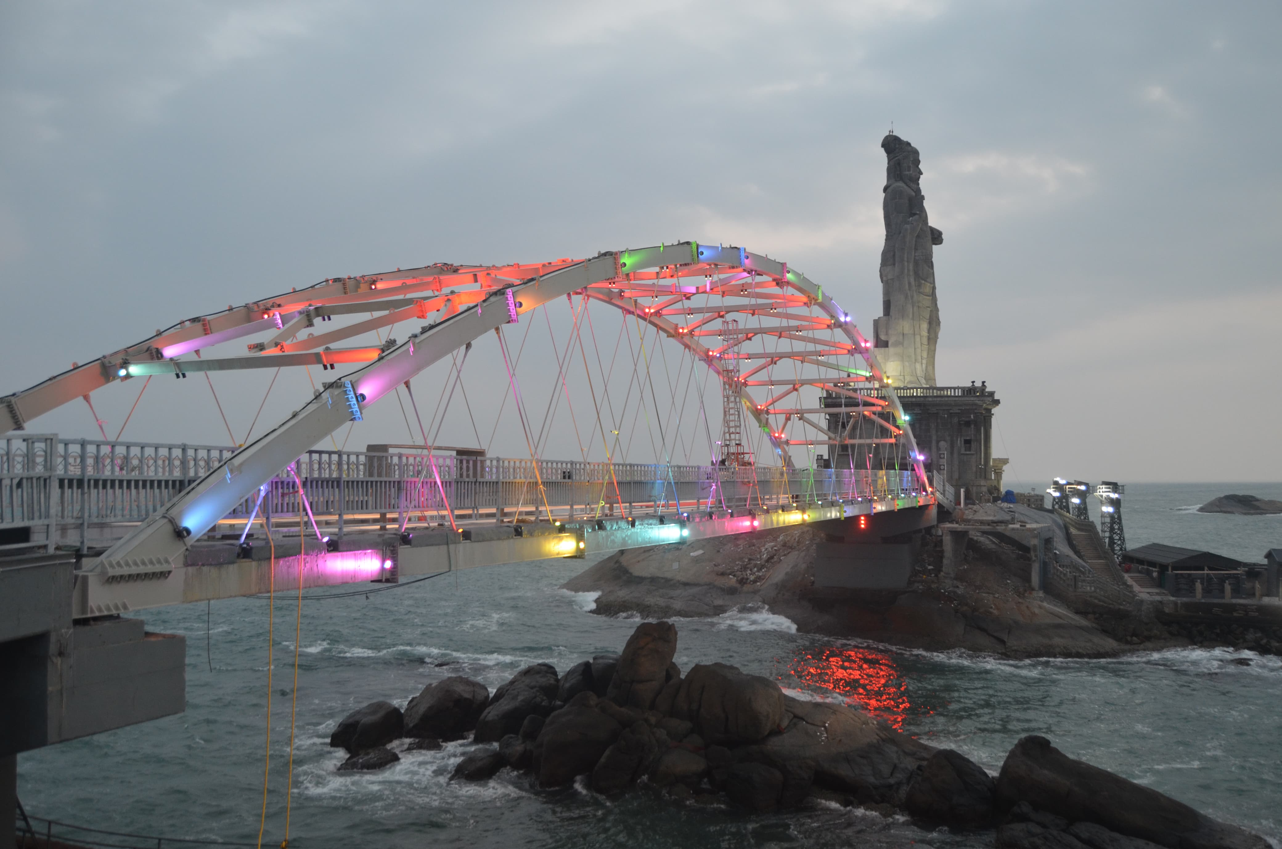
The Port is located on the southern-most tip of India on the main land. It gives the connectivity to the nearby Vivekananda Rock and Ayyan Thiruvalluvar Statue (Rock).
Port Limits Co-ordinates and G.O:
|
1 |
Latitude Longitude |
080 770 |
08’ 34’ |
00’ 24’ |
N E |
|
2 |
Latitude Longitude |
080 770 |
05’ 35’ |
30’ 00’ |
N E |
|
3 |
Latitude Longitude |
080 770 |
04’ 35’ |
00’ 00’ |
N E |
|
4 |
Latitude Longitude |
080 770 |
03’ 31’ |
36’ 36’ |
N E |
|
5 |
Latitude Longitude |
080 770 |
04’ 31’ |
54’ 36’ |
N E |
G.O.Ms.No. 61, Highways and Minor Ports (HM1), Dated. 10.06.2021.
Details of Port Infrastructure/Facilites:
1. Berthing facilities for the ferries with Breakwater
2. Facilities required for passenger embarking / disembarking to and from the tourist ferry.
Activities of the Port:
A short passenger ferry service to Vivekananda Rock Memorial and Ayyan Thiruvalluvar Statue and viceversa is operated by M/s. Poompuhar Shipping Corporation Ltd ( A Government of Tamil Nadu Undertaking).
Contact Details:
O/o, Tamil Nadu Maritime Board,
Port Conservator, Port office,Kanyakumari – 629 702,
Tamil Nadu, India.
Phone : 04652 – 248270.